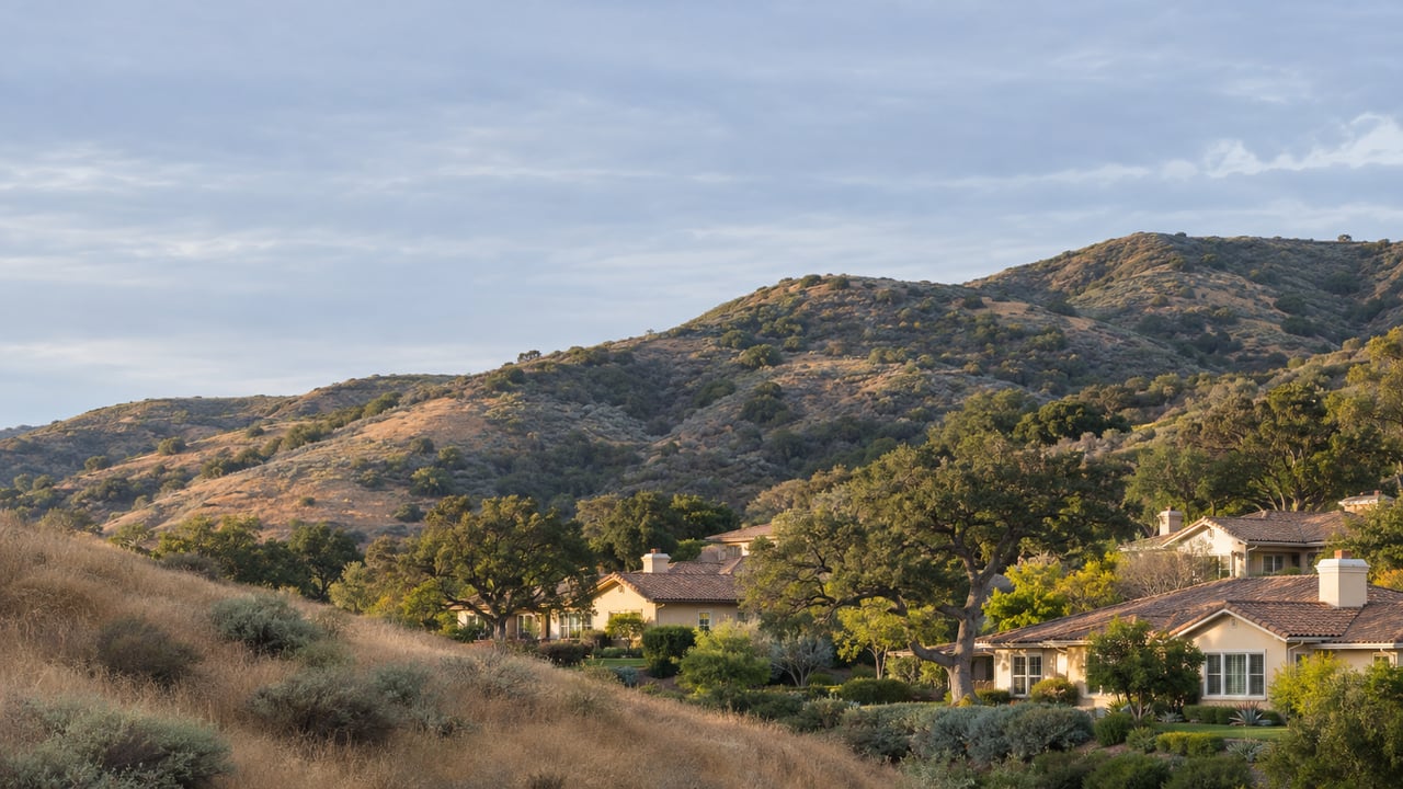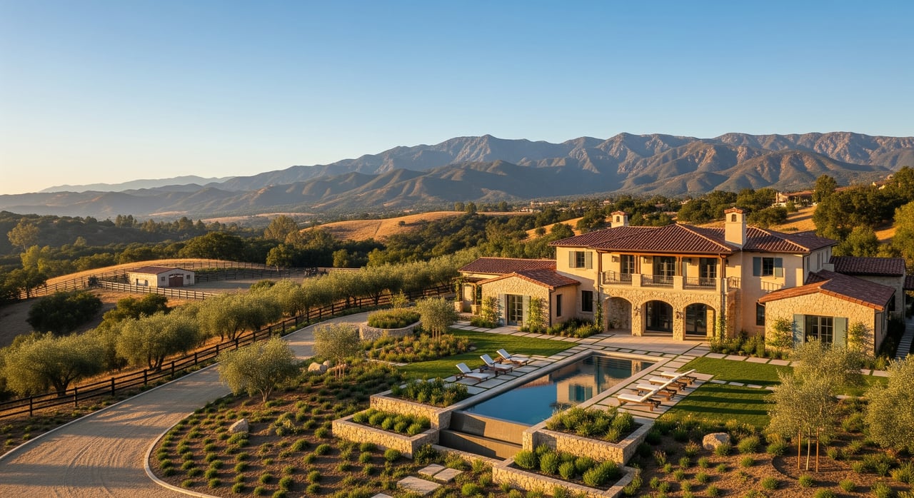
You keep seeing “X usable acres” on Santa Clarita listings and wonder what it really means. You are not alone. In our hills and canyons, gross acres often do not match the land you can actually build on or enjoy. This guide breaks down what counts as usable acreage, the local factors that shrink it in Santa Clarita and Agua Dulce, how it affects value, and how to verify it before you write an offer. Let’s dive in.
Usable acreage vs. gross acreage
When a parcel shows 5 acres, that is gross acreage. One acre equals 43,560 square feet. Usable acreage is the portion you can reasonably use for your intended purpose, such as a home site, driveway, yard, barn, arena, pasture, outbuildings, septic system, and utility runs.
There is no single legal formula for usable acreage. It is a practical judgment based on slope, access, easements, floodplains, habitat, soils, utilities, and local zoning rules. Professionals look at what is physically, legally, and financially feasible for the site.
How professionals quantify it
- Topographic survey with contour lines to identify buildable pads and slopes.
- Net buildable area calculation that subtracts setbacks, easements, and unbuildable slopes from the gross parcel.
- Title review to identify road dedications, utility corridors, conservation easements, and other restrictions.
- Utility and services review for water, sewer or septic feasibility, power access, and fire access requirements.
Local factors that reduce usable acreage
Santa Clarita and nearby unincorporated areas like Agua Dulce have beautiful terrain, but the same features that create views can limit what you can use. Here are the most common constraints.
Slope and topography
Steep hillsides and canyon terrain are common. Portions with slopes over roughly 25 to 30 percent are often too costly to grade for everyday use without significant engineering. Even moderate slopes can limit the size and shape of a homesite pad or arena.
Access and roads
Many rural parcels rely on private or unpaved roads. If legal access is missing or the driveway cannot meet city or county and fire department standards, you may not be able to build until improvements or easements are secured. Recorded road dedications and rights of way also reduce what is practically usable.
Fire safety and defensible space
The region sits in the Wildland-Urban Interface. Fire apparatus access, required turnouts, turnarounds, and fuel modification zones shape where structures can go. Defensible space rules and brush clearance can reduce how close you can build to slope edges and natural vegetation.
Water and wastewater
Inside the City of Santa Clarita, many parcels are served by SCV Water. In unincorporated areas like Agua Dulce, you may need a well and a septic system. If a well cannot deliver reliable yield or a perc test fails, the parcel may be functionally unbuildable for a home until that is solved.
Soils, geologic hazards, and drainage
Expansive clay, shallow bedrock, or unstable soils can increase costs and limit pad areas. Seasonal creekbeds, floodplains, and river corridors are often protected and not buildable. Work near a stream may require permits, so those acres typically do not count as usable for building.
Zoning, overlays, and lot coverage
Zoning can cap lot coverage and impose setbacks. Hillside or scenic corridor overlays can further limit where improvements are allowed. Animal keeping rules and agricultural limits can also narrow what is truly usable for your plans.
Easements and private restrictions
Utility corridors, conservation easements, and CC&Rs often carve out areas you cannot build on. These reduce usable acreage even when they sit on otherwise flat land.
How usable acreage affects value
Usable acreage has an outsized impact on price because the house site, driveway, and utility routes are the most valuable square footage on the property. Remote or steep terrain contributes less to value.
What buyers look for
You will focus on where the house can sit, how a driveway will reach it, where utilities run, and whether there is room for the yard, barn, arena, or garden you want. If you need well and septic, those areas must be feasible and properly spaced.
What helps sellers
Sellers who document usable acreage reduce friction. The strongest packages include a topographic sketch showing buildable pad locations, proof of water availability or well data, legal access records and any road agreements, and septic perc results or prior permits. Overstating usable acreage can backfire at inspection or appraisal.
How appraisers treat it
Appraisers value land based on what is legally, physically, and financially doable. They often compare similar parcels by usable area, or value a buildable pad more strongly than remote slopes. They will review surveys, zoning codes, title records, utilities, and site conditions. Assessor acreage is a starting point, not a measure of usable land.
Pricing effect in practice
The premium is non-linear. The piece that fits a home, driveway, and utilities is worth far more per square foot than the leftover steep acres. For horse or agricultural uses, contiguous flat area is more valuable than fragmented pockets split by easements or canyons.
Due-diligence checklist to verify usable acreage
Work through these items in order so you catch deal breakers early.
- Preliminary title report: confirm gross acreage, easements, road dedications, conservation easements, CC&Rs, and any road maintenance agreement.
- Parcel map and assessor data: reconcile recorded parcel acreage with assessor records.
- Topographic survey: show contours, slopes, ridgelines, creekbeds, proposed or existing pads, and driveway routes.
- Geotechnical report: evaluate soils, bearing capacity, expansive soils, liquefaction, and landslide risk.
- Percolation test and septic feasibility: required if no sewer is available.
- Water availability: for city parcels, verify service and connection fees; for unincorporated parcels, review well logs, local water district coverage, and pump test results if a well exists.
- Utilities and easements: confirm electric service location, transformer distance, and any utility easements that limit use.
- Access and fire standards: verify legal access and the driveway width, grade, surfacing, and turnarounds required for permits.
- Floodplain and waterways: check FEMA flood zones and any mapped streambeds that will restrict building or require permits.
- Environmental and habitat: if development is planned, confirm whether biological surveys are needed for protected species or habitats.
- Zoning and overlays: confirm permitted uses, minimum lot size, setbacks, lot coverage, and any hillside or scenic corridor overlays.
- Fees and improvements: estimate grading, utility connections, road improvements, permit and impact fees.
- Professional review: consult a land-focused appraiser, civil engineer, licensed surveyor, and environmental specialist as needed.
Local offices to contact include the City of Santa Clarita Planning and Building Department, Los Angeles County Department of Regional Planning and Public Works for unincorporated areas, SCV Water or the applicable waterworks district, Los Angeles County Department of Public Health for septic, the Los Angeles County Assessor and Recorder, the local fire authority, FEMA flood mapping, and state or federal agencies for streambed permits.
Decode common listing language
Use these phrases as clues, then verify with documents.
- “X acres — X usable acres”: treat the usable claim as an estimate until a topo or seller documentation confirms it.
- “Gentle usable acreage” or “mostly flat”: often suggests slopes under roughly 10 to 15 percent, still verify with contours.
- “Large usable pad(s)”: ask for permit history, soil or geotech reports, and exact pad dimensions.
- “Great for horses or agriculture”: confirm contiguous flat area, fencing, and local rules for animals and agricultural structures.
- “Septic OK” or “perced”: request test results and permit records from Environmental Health.
- “Well on site” or “water available”: ask for well logs, production tests, water quality, and any will-serve or connection details.
- “Private road — maintenance agreement”: request the agreement and confirm that access meets permit standards.
- “Includes creek or waterway”: expect setbacks and possible permits; count these areas out for building.
- “Homesite pad ready”: confirm grading permits, stabilization, drainage, and engineering.
Quick yardage math for context
- 1 acre equals 43,560 square feet.
- A comfortable single-family home site with setbacks, driveway, and yard often needs 10,000 to 20,000 square feet of relatively flat area.
- A 5-acre parcel with 1 acre of flat ridge and the rest steep canyon may offer only about 1 usable acre for building without major investment.
Next steps
If you are comparing parcels by gross acres alone, you risk overvaluing land that you cannot use. Focus on documented buildable pads, realistic access and fire compliance, confirmed water and septic feasibility, and clear title. That is how buyers protect their budgets and how sellers showcase true value.
If you want a clear, local view of a specific parcel’s usable acreage and market value in Santa Clarita or Agua Dulce, schedule a conversation. You will get practical guidance and a plan tailored to your goals.
Ready to move forward? Schedule your free property consultation with Elizabeth Fenley-Dixon.
FAQs
What does “usable acreage” mean in Santa Clarita?
- It is the portion of a parcel you can reasonably use for your plans after accounting for slope, access, easements, utilities, septic or sewer, zoning, fire rules, and environmental limits.
How can I verify a listing’s claimed usable acres?
- Order a topographic survey, review the title report for easements, confirm access and fire standards, check water and septic feasibility, and have a land-focused professional review the package.
Can steep hillside lots be made usable with grading?
- Sometimes, but slopes over about 25 to 30 percent often require expensive engineering, so you should model grading costs and confirm permits before relying on that area.
What if a parcel has a well but no septic approval?
- Without a passing percolation test and septic permit, a residential build may not be feasible, so treat septic feasibility as a critical gating item.
How do appraisers treat creekbeds and floodplains on large parcels?
- They typically discount or exclude those areas from the land’s primary value and weigh the buildable pad and accessible flat areas more heavily.